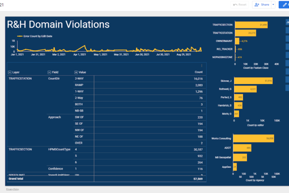
I had the pleasure of presenting alongside Shaun Perfect (ADOT) at the 2021 Arizona Geographic Information Council Symposium. The presentation, titled “Visualizing Esri Roads & Highways Errors”, took place on October 25th, 2021, and can be watched below.
The presentation focuses on a a recent data visualization project, initiated by ADOT, in which FME was used to identify errors in the Esri Roads and Highways Ecosystem. The results of the analysis, displayed using a Google Data Studio Report, allow managers at ADOT to evaluate the effectiveness of internal workflows and processes.
If you like the presentation or have follow-up questions feel free to leave a comment at the bottom of this page or shoot me an email!
