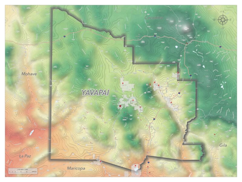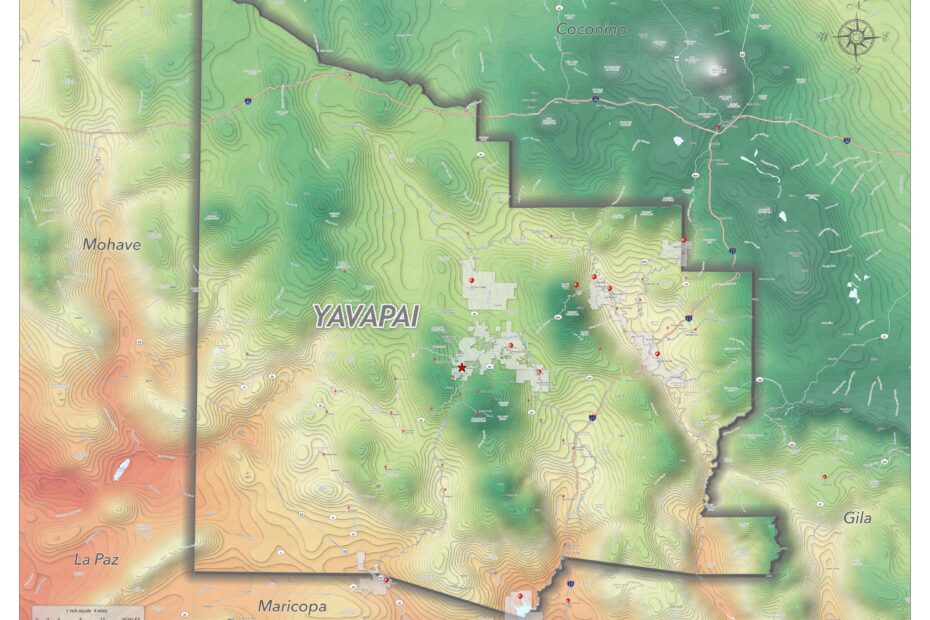
As an opportunity to learn ArcGIS PRO better (and for fun!), I decided to use custom styles to make a map of Yavapai County. This map shows the county emphasized with a color scheme based on elevation and average annual temperature, where the lower hotter areas are progressively more red, and cooler higher elevation are green, with mountain peaks being white. The full size image is 36in x 48in. The map uses the shell-up contour method found in ArcGIS products. The full size image is about 35MB, click the link below to download.
CLICK HERE FOR FULL SIZE IMAGE