Cartography · print · 2020
Yavapai County elevation and climate map
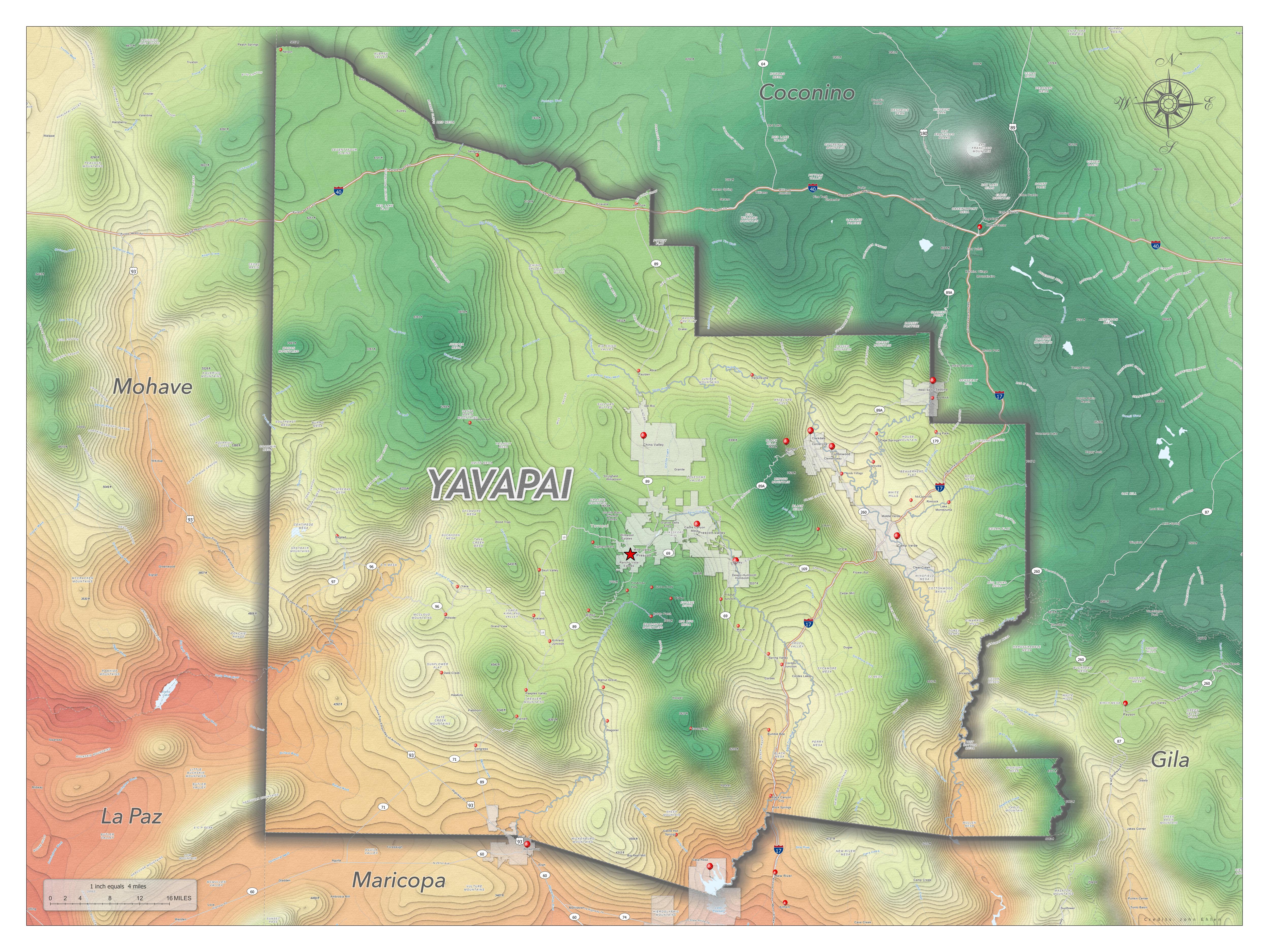
A 36 × 48 inch print map of Yavapai County, colored by elevation and average annual temperature: low, hot areas run red, cooler high country runs green, and peaks are white.
Stack
Cartography · print · 2020
A 36 × 48 inch print map of Yavapai County, colored by elevation and average annual temperature: low, hot areas run red, cooler high country runs green, and peaks are white.
