Experience
Enterprise IT, transportation and public-safety data.
GIS is the backbone of all of it. Enterprise IT and GIS at FilmLA; before that, statewide transportation and NG911 data and QA for ADOT, the state 9-1-1 program and every Arizona county, and county GIS at Yavapai County.
Arizona State Highway System LRS
9,414.81 centerline miles of state highway (2021)
- 30,557.65
- maintained lane miles
- 7
- districts, 15 counties
Scope of the Roads and Highways LRS data I worked on for ADOT: the full state highway log. Source: ADOT State Highway System Log, 2021
Arizona NG911
8,128 square miles of Yavapai County NG911 data
- 15
- counties statewide
- NENA
- compliant schema, automated with FME
At Gistic Research I worked on statewide NG911 data for all 15 Arizona counties. Before that, I managed all of Yavapai County’s NG911 address and road centerline data (shown on the map) and moved it to NENA compliance with FME automations, including the fishbone address checks. Calls on the map are illustrative. Source: 2020 Census
Los Angeles County filming
4,058 square miles of LA County
- 88
- cities
- 10.0M
- residents
FilmLA coordinates film permits for the City and County of Los Angeles, Hollywood included, and other local jurisdictions. I manage the GIS behind that process, which connects the agencies involved into one workflow. Shoots on the map are illustrative, not real permits. Source: 2020 Census; LA County
2022 – FilmLA Business Systems Specialist, GIS
Modernized the legacy GIS deployment behind FilmLA’s film permit process, which connects the agencies involved into one process, and run the systems around it.
- Moved the GIS (100+ services, 150+ feature classes) from on-premises to the cloud with separate dev, test and prod environments, then took it through a major version upgrade, custom plugins and integrations included
- Rebuilt a 2009-era location-scouting application with self-hosted vision-model tagging
- Cut $30K a year by rightsizing the GIS environment
- Put patching and releases under IT change management, with one-click deploy and rollback
- Run servers, storage, security and access
- Build data pipelines into BigQuery, with custom spatial connectors
- Built a web editor for jurisdiction boundaries that archives every version
- Built a one-click tunnel manager for Google Cloud VMs, secure by default
- Run local AI models and an AI-assisted delivery pipeline
2022 – 2026 Works Consulting Senior Analyst / Consultant, part-time
Transportation data and enterprise GIS work for highway agency clients, alongside my FilmLA role.
- Developed HPMS data for a highway agency’s federal reporting
- Worked on road junction model building
- Administered ArcGIS Enterprise and Portal
- Maintained and migrated SDE geodatabases
- Automated workflows in Python
- Wrote proposals and mentored staff
2021 – 2022 Gistic Research, Inc. GIS Project Manager
Project manager on a multi-million-dollar contract with ADOT’s Multimodal Planning Division, and on statewide NG911 work for every Arizona county. My work touched every ADOT dataset, including critical and sensitive infrastructure. I built the tooling behind both in SQL, Python and FME.
- ADOT: data governance, ETL and executive dashboards for the statewide road network, including a pavement dashboard moved from Tableau to ArcGIS Online, and the State Highway System logs republished after an eight-year gap.
- Arizona 9-1-1 Program Office: led development of the statewide address validation platform, including an ArcGIS Pro add-in, with semi-monthly training and one-on-one support for its users.
- Helped build a shared library of about 59 reusable FME tools for linear referencing, and reviewed and standardized the team’s FME workspaces.
- Arizona DPS: modernized and automated statewide NG911 data aggregation with FME and Python.
- Built a Python tool that parses addresses inside ArcGIS Pro with AI and NLP engines, and helped train the parser models.
- Wrote bids and proposals, and ran the company’s virtual booth at AASHTO GIS-T 2021.
2021 – 2022 Embry-Riddle Aeronautical University Adjunct Faculty
Taught GEO 210, Introduction to GIS.
- Built the course: lecture decks, a midterm study guide, a final project and a grading rubric
- Taught it online in spring 2021, with a 12-lecture package, and in person in fall 2021
- Taught in ArcMap, with Canvas and Zoom
2019 – 2021 Yavapai County GIS Specialist
Took over county GIS systems dating back to 2013, moved them to the cloud and upgraded them. Converted the legacy 9-1-1 datasets to the NENA NG911 standard across more than 8,000 square miles.
- Ran about 200 Python scripts: parcel imports, weekly updates for 11 cities and towns, geodatabase maintenance, and data feeds for dispatch and the state 9-1-1 program
- Ran a road centerline QA/QC suite that checks gaps, continuity, geometry changes, short segments, invalid names and dangles
- Created the fishbone address check and presented it at AGIC 2020
- Managed Emergency Service Number boundaries
- Built the public COVID-19 dashboard with the county EOC
2012 – 2013 AmeriCorps, with the US Army Corps of Engineers GIS Mapping Technician
Began as an intern in my last semester of college. GIS mapping at Lake Georgetown in Williamson County, Texas, for the US Army Corps of Engineers as an AmeriCorps member.
- Mapped the lake’s trail system
- Catalogued Native American archaeological sites
- Made print maps for visitors
Agencies served
- Arizona Department of Transportation
- Arizona 9-1-1 Program Office
- Arizona Department of Public Safety
- Arizona Department of Administration
- New York State DOT
- All 15 Arizona counties
Degrees, certifications and past standards work are on Education.
Teaching & speaking
Teaching and talks.
Adjunct Faculty · 2021 – 2022
Embry-Riddle Aeronautical University
GEO 210 · Introduction to GIS
Designed the curriculum and taught both lecture and lab: online in spring 2021 and in person in fall 2021.
- Lectures from map design and GIS outputs to geodatabases, projections, digitizing and spatial processing
- A 12-lecture online package that covered Network Analyst, Spatial Analyst and 3D GIS
- Midterm study guide, final project and grading rubric
- Taught in ArcMap, with Canvas and Zoom
Students pointed to quick email replies and recorded videos.
- 9
- conference and community talks, several co-presented with ADOT
- 4
- standards and user groups, as voting member or moderator (see Education)
- 2
- published analysis methods
Speaking
2020 – 2022
- 2022 Resurrecting the State Highway Log GIS-T Symposium · with Sage Donaldson, ADOT Slides
- 2022 Supporting R&H data production with executive QC dashboards GIS-T Symposium · with Shaun Perfect, ADOT Slides
- 2022 From nonspatial events to polygons GIS-T Symposium Slides
- 2022 Creating WZDx feeds from ArcGIS services FME in Transportation SIG Video
- 2021 Visualizing Esri Roads & Highways errors Esri Roads & Highways User Group · with Shaun Perfect, ADOT Video
- 2021 Intelligent street address management AGIC Symposium · with Howard Ward, TSSW, and Bo Guo, Gistic Research Video
- 2021 Navigating roads to data visualization AGIC Symposium · with Sage Donaldson, ADOT Video
- 2021 ArcGIS domains: using FME where Esri falls short FME in Transportation SIG Video
- 2020 Visualizing attribute discrepancies between address and centerline datasets AGIC Symposium Video
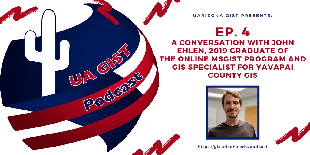
University of Arizona MS-GIST alumni podcast · 2020
Episode 4: A conversation with John Ehlen
With program director Chris Lukinbeal and Dr. Jennifer Mason: the online MS-GIST program, current projects and finding GIS work after graduation.
Plays from YouTube
FME in Transportation SIG
Co-founded the group on LinkedIn and co-moderated its monthly talk series: presented, hosted guest speakers and ran Ask Me Anything sessions.
Presented
- Creating WZDx feeds from ArcGIS services
- ArcGIS domains: using FME where Esri falls short
- Resurrecting the State Highway Log
- Getting started with LRS custom transformers
- From linear events to boundaries
- Snapping INDOT bridges to more data-rich routes with FME
- FME best practices
- FME Ask Me Anything
Hosted
- 0 to FME: how CTDOT built an enterprise GIS to manage authoritative data
- How FME measures up
Training and documentation
Systems I deliver ship with training and documentation, and I mentor teammates on them.